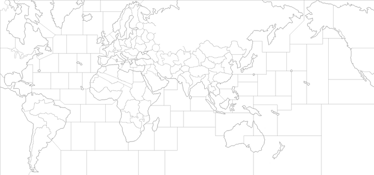
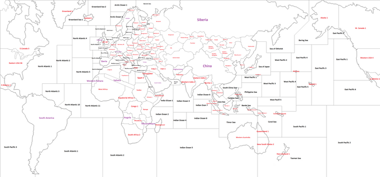
Would it be considered a good drawn map?
-
@Cernel You use a convoy box and/or national objective.
-
Alternate Pacific and Indian Oceans drawings.

-
@Schulz Nice map. I like the relative lack of distortion compared to many other maps.
-
Thank you. I would just want to give every territories and sea zones a purpose even if they have no value likethe Southeastern Pacific Zone. It is single territory because additional sea zone in here almost would never been used and it would reduce already relatively unimportant Southeastern Pacific Area. Currently its main purpose is preventing USA landing ANZAC within 1 round with ground units logically.
-
After intensively thinking I decided to make world map because it will be already possible to turn it into European map if somebody intend.

Different aspects which will separated it from most other WWII maps but mostly it will be with v3 units and rules.
More realistic incomes: Germany and USA will be relatively more stonger
Double Sea zones in English Channel: Giving Germany opportunity threataning Allies shippings with submarines and air units considering Germany will start with French factory and most sea territores will be blockade zones.
German Mediterranean: Germany will touch Adriatic.
Russian's "life of road": Lake Ladoga is connected to lake of Onega which connects to Barents sea. Russia will need naval presence on the lake to reinfore easily Leningrad. Russia will have a specific cheap naval unit for this task which transports and defends.
Siberians: Russian special unit with 2/3 stats and 3 Pus cost but can be placed on only south siberian factories and Russia starts with Mongolia.
The issue is I'am undecided about the starting date. First option is Germany-Italy starts on prior of Barbarossa and Japan prior of the attack on Pearl harbour timelines the other one is either December 1941 or May 1942.