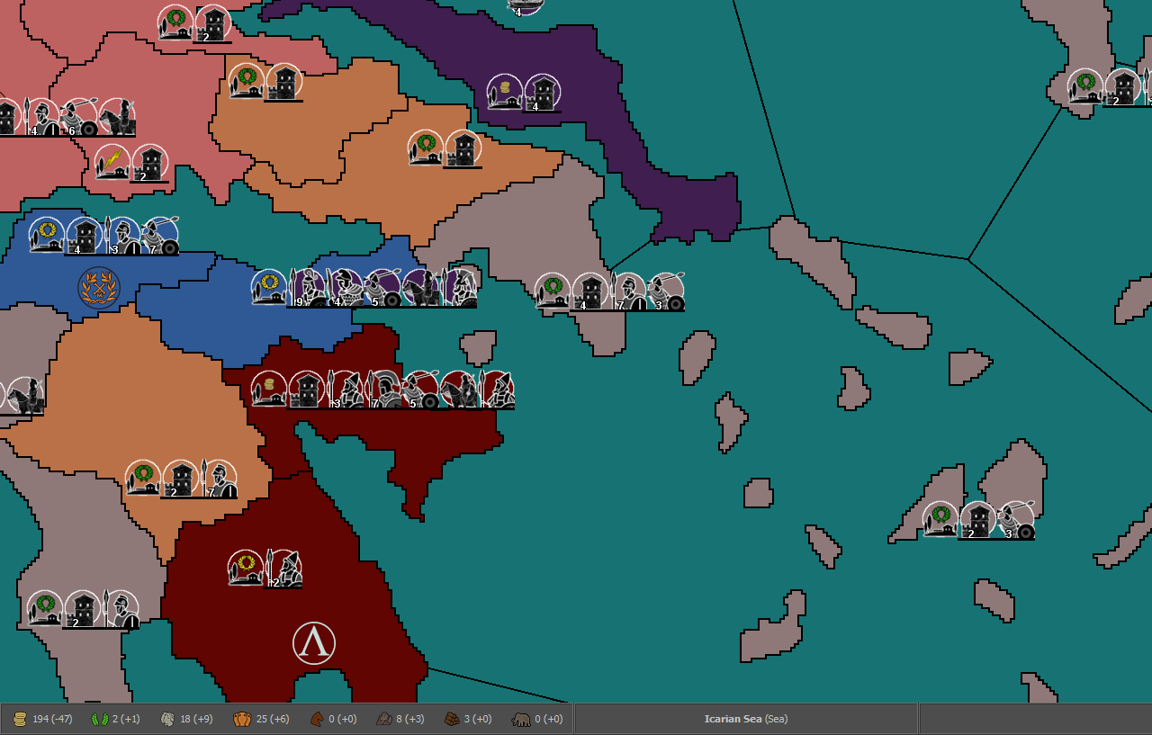
Ancient Empires: 222 BC
-
@Hepps I'm interested, but before/instead of doing that, I'm also interested in:
- How long did it take you for that? Is there a way to apply it at once to the whole map, I guess not?
If I restart with a 20% sized version could stroke with 1x1 produce any good results (also considering the x5 scaling later).Answered to @Cernel- If I restart from the full version, what should I consider for a relatively easy decent look? I could finetune later.
-
@Name said in Ancient Empires: 222 BC:
@Hepps I'm interested, but before/instead of doing that, I'm also interested in:
- How long did it take you for that? Is there a way to apply it at once to the whole map, I guess not?
The area I did took about 5 minutes... but that result could be applied to the entire map. To yeild those same results over the entire map would likely take 5-6 hours depending on your pace and proficiency.
If I restart with a 20% sized version could stroke with 1x1 produce any good results (also considering the x5 scaling later).Answered to @Cernel- If I restart from the full version, what should I consider for a relatively easy decent look? I could finetune later.
Most everything is a process you need to consider right from the start. I will show you my process.
-
@Name If you want to upload here the integral original baseMap image anyways (the one just drawn at 2 pixels borders manually), no harm if someone might want to take a look at that right?
-
@Hepps Makes more sense to redo it then I think. By what to consider I mean pixel size, stroke settings or alternatives etc. I don't want to go into extreme detail though, cause playtesting will have me re-edit a lot of regions for sure anyway.
@Cernel unfortunately I don't have that version anymore, I did the mistake to overwrite it with the scaled up. I could reproduce something similar from it relatively quickly (or even better from the last pic I posted in page 5).
But I'm thinking on fiting the following (same base map) to the dimensions and redrawing the borders with the previous one as guidance.
-
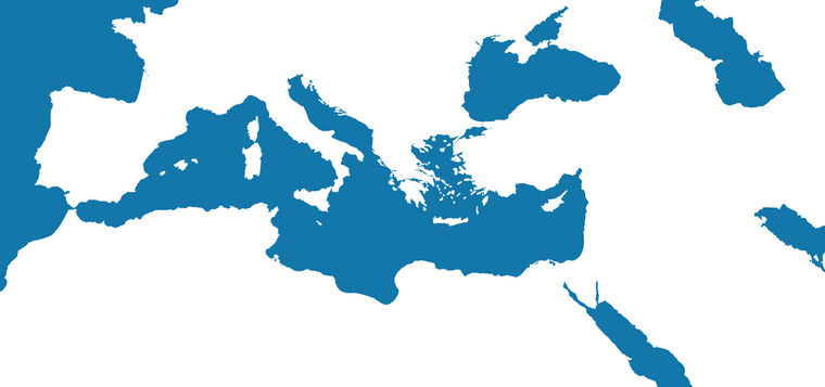
- Find the map you want and the largest version you can find that is as close to the scale you intend to use. In your case the entire Mediterranean. Then scale it to the exact dimensions you intend to use.
- Make all the general alterations you want to suit game play. In your case enlarging Greece.
-
Find a site like Google Earth where you can zoom in to roughly the same size and take screen shots of all the areas that your map encompasses, crop them to eliminate all the other stuff (menus search tabs etc.) and paste them together in a new canvas until you have all the important things you need in great detail.
-
Copy that entire image and put it into a new layer of your first map and then adjust the opacity of the new layer so that you can see the original layer underneath.
-
Manipulate the new layer to match all the adjustments you made for game play purposes.
-
Increase the opacity of the detailed layer. Add one more layer and now trace the outline of your now very detailed map.
-
@Hepps The google earth part is meant to provide realistic shapes? And then fit them with edits onto the final map?
-
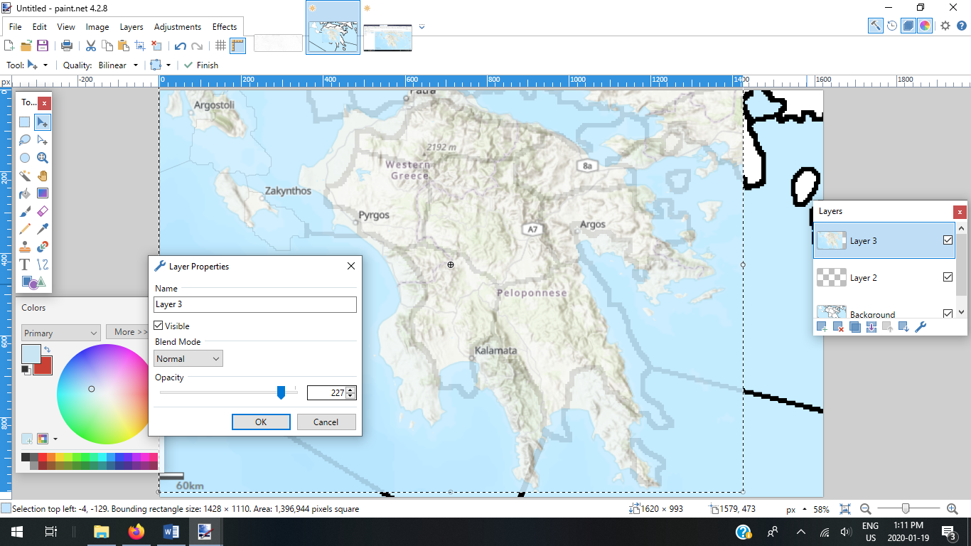
@Name Here is a sample of what step 4 looks like using your section as an example...
-
@Hepps So it's meant for the relief tiles?
-
Step 6...
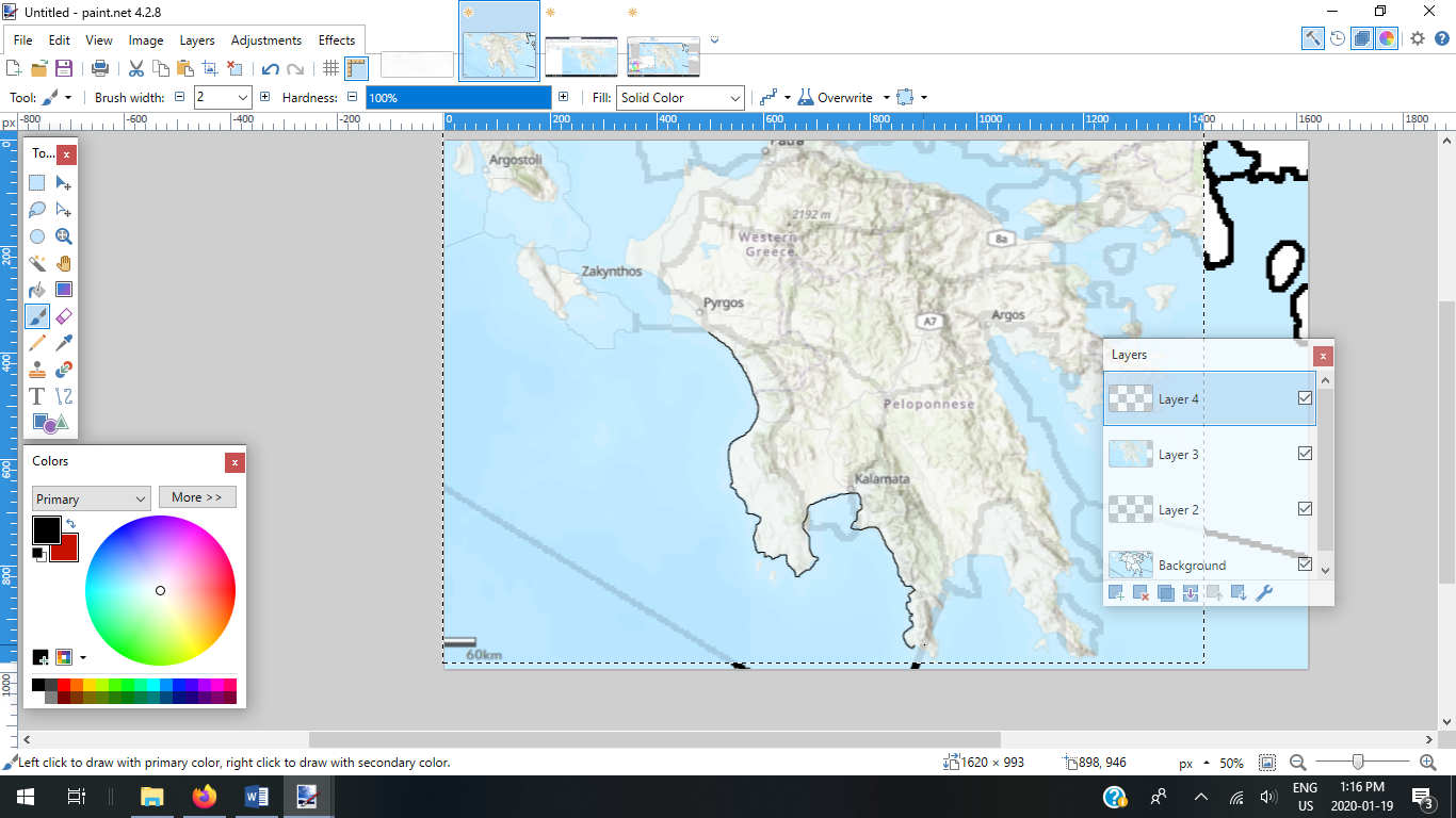
Step 7... Once the entire tracing is done... including detailed coastlines and adding whatever territory divisions might already have been in the original layer... You can then delete all layers but the top one. Add whatever shade of blue you want to all the sea zones... and you have an exceptionally detailed base map.
-
@Name People have used satilite imagery as the relief layer for their maps... take a look at Napoleonic Empire... the only issue with this is you have to use the natural scale of the satilite image for the map as manipulating it becomes virtually impossible.
-
@Name The other nice thing about this is that while you have the detailed topographic layer still in the map... you can get a better feel for where Mountain terrains should be... where things like rivers might want to be natural boundaries for territories.
For example... on your map the divisions in Egypt seem quite arbitrary and the scale of the territories is enormous when compared to Greece. You could make territory divisions that follow the course of the Nile river... crop a great deal of the bottom of the map... and add more smaller territories (sized closer to Greece for all the Egyptian Minors you intend to add.
-
@Name The AI is now updated to be able to purchase 0 move units. Feel free to test it out with the latest pre-release.
-
@Hepps Thanks for all the suggestions. I've started the slow (but somewhat addictive) proccess of painting coasts. Then I'll move to regions and details including much of your method.
-
You could also first find some cool map you can use, then draw the stuff over that one, so that, then, you'll have the relief map mostly done, instead of having to create them from nothing or basic elements. This is what @Frostion does all the time (sometimes he takes actual copyrighted work, asking permission to use it, like I believe in the case of Dragon Wars).
-
@Name I have to agree. Although it is slow... it becomes very addictive once you have made some progress and start to see the results.
"A joyous heart sours with the burden of expectation"
Hepster -
-
@Name Entirely dependent on how you want them to function. If you want things like major rivers to create choke points... then yes. If you want them just to be sensible territorial division... then no just add it to the relief layer.
-
@Name What I recommend is to look at some of the existing maps that handle rivers and lakes in different ways...
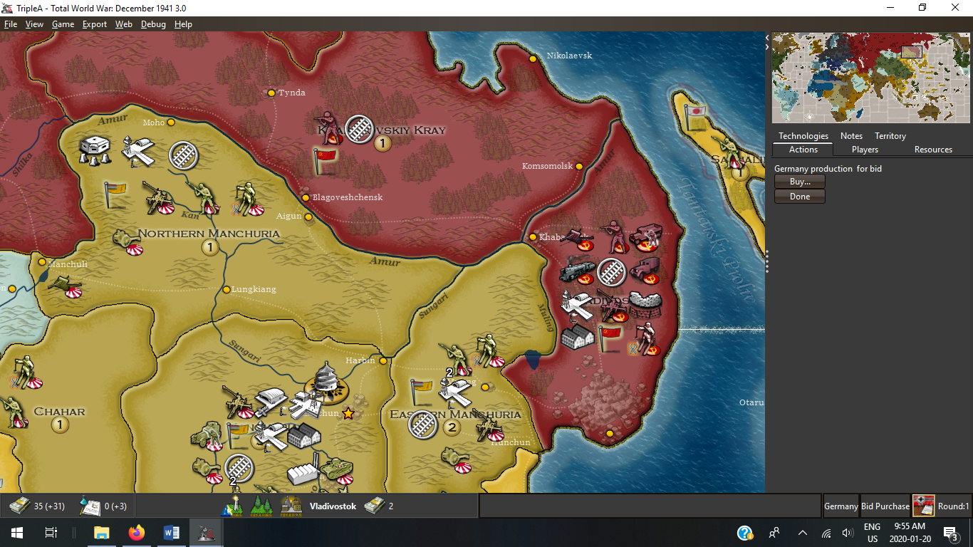
Total World War for instance use rivers as purely decorative but many territorial divisions follow them where actual national boundaries ended up...
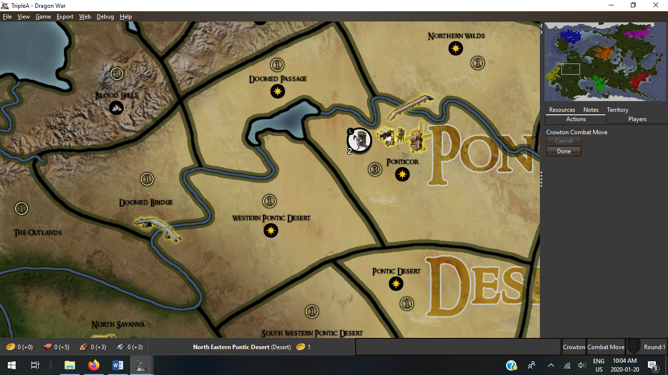
Whereas Dragon War uses them as decorations, but utilizes XML mechanics to limit movement via territorial connection.
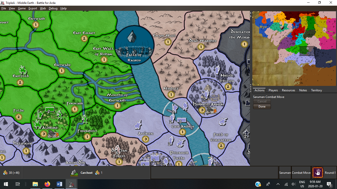
And finally Middle Earth Battle for Arda has them as both. Where Major rivers are actually Sea Zones with crossing points as well as simply decorative features for minor rivers...
There are more exmples... Civil War comes to mind.
At the end of the day you have to decide what you want to include or exclude before you complete the map design. (Unless you want to restart again)
")
-
@Hepps So far I'm thinking the Nile, Danube, Tigris and Euphrates should be represented, at least as borders, probably not navigable. Then not sure on smaller rivers (or if I should consider more as major ones). Depending on what map artstyle I go for I might include them or just consider them when drawing borders. If there was an attack penalty for river crossing, things would be more interesting. Having a river territory effect now would only make sense if a territory was a river island.
On lakes I'm thinking on equivalent, similar ways.
Anyway I still need many hours of work on coastlines before this matters, till then I'm open to suggestions.
-
@Name Well, you can use canal attachments to simulate some aspects of rivers. For example, you could make it so some units couldn't attack over a canal (only non-combat move over them) by using
canNotMoveThroughDuringCombatMove. But yes, currently you can't have say a attack penalty over them like you can with territory attachments though this is something I'd eventually like to add.You could also create a system like civil war where the rivers are actual territories and you have to build bridges. Then you could have negative isMarine values to simulate lower attack power.
Hello! It looks like you're interested in this conversation, but you don't have an account yet.
Getting fed up of having to scroll through the same posts each visit? When you register for an account, you'll always come back to exactly where you were before, and choose to be notified of new replies (either via email, or push notification). You'll also be able to save bookmarks and upvote posts to show your appreciation to other community members.
With your input, this post could be even better 💗
Register Login