How to modify borders on an existing map
-
@davor-pavlić
Same method as for the baseTilesthe file manager path to iron wars reliefTiles is
C:\Users%username%\triplea\downloadedMaps\iron_war\map\reliefTilesTripleA path is as above but your actual username
Then load into Inkscape or maybe GIMP if it supports layers.
If you are using Inkscape, this might be use, if you have not seen it
https://forums.triplea-game.org/topic/3318/easier-map-making-with-inkscape-reusable-art-assets -
Alright, so let me make sure i understand.
So what i need to do is open the blank map in Inkscape and trace the reliefTiles over the blank map?
I'm not very sure how that is done exactly, im kind of overwhelmed by the whole reliefTile thing lol
I understand what you mean by layers but im confused how to do that, im not familiar with inkscape.
-
@davor-pavlić
For your purposes Inkscape is just a viewer, it is much more, but its a quick method for seeing the changes you have made.baseTiles are required for TripleA to play the game.
reliefTiles are not needed by TripleA, but they look good on the human eye and they sit visually on top of the baseTiles.Lets assume you have done the baseTiles correctly, you then need to change the reliefTiles.
To see the changes in game you would have to- make the changes on the reliefTiles
- break the big png into smaller tiles,
- load TripleA
- load the game
- check the changes
repeat until correct
.
Using Inkscape as a viewer- make the changes on the reliefTiles
- Load the big relief png on top of the big baseTiles png
- check the changes
repeat until correct
So the Inkscape cycle is a lot shorter and quicker.
Then you just once;- break the big png into smaller tiles,
- load TripleA
- load the game
- check the changes
Does this make sense?
-
@Davor-Pavlić
Maybe I should not of posted that link about Inkscape as it just confused you.That post was really about a new way to make baseTiles by tracing of say a fantasy map, because its vector based and a lot easier to make changes.
Then for non-graphic artists, like me to make the reliefTiles.
As an aside you can also download complete vector images/svg done by other people off the internet.
-
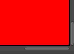
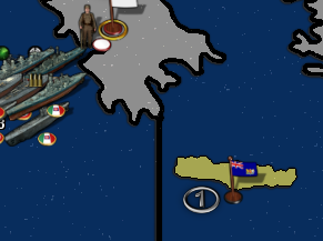
Okay well i want to get the baseTile map working properly first, ill mingle with relief once i have the base working properly. I modified the centre picker and that works fine, but when i open polygon grabber i need to click into individual TTs and fill them, but whenever i click into any of the TTs, the whole screen gets filled like borders don't exist. Like this :

What is the solution to this?
-
@davor-pavlić said in How to modify borders on an existing map:
But are you saying i need to open the tile reconstructor and do the same for relieftiles to get another large map for relief?
Yes, I am assuming that you do want to change it, so it matches the baseTiles.
Im away from my keyboard, I will post later today.
-
Alright i think i finally understand how to do relief, i also edited my comment for polygons issues i have.
Sure, whenever you are available works for me.
-
@davor-pavlić said in How to modify borders on an existing map:
Okay well i want to get the baseTile map working properly first, ill mingle with relief once i have the base working properly. I modified the centre picker and that works fine, but when i open polygon grabber i need to click into individual TTs and fill them, but whenever i click into any of the TTs, the whole screen gets filled like borders don't exist. Like this :
What is the solution to this?
Indeed relevant borders don't exist. The solution is to add black borders to the edges of the image, too.
Don't always trust TripleA when it comes to rules questions. Know the rules before you start … and better check what TripleA has done.
-
@panther
Thanks!
I'm no expert, I know a little and that's dangerous. I was getting the same error as @Davor-Pavlić and I did not know why.
https://forums.triplea-game.org/tags/thedog
https://forums.triplea-game.org/topic/3741/curated-best-top-maps-triplea-guides -
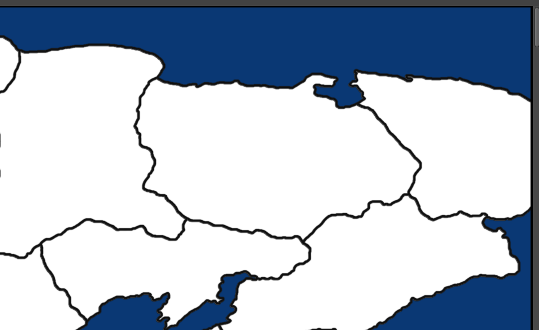
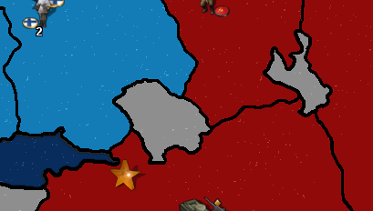
I added a black outline on all edges of the map, it didnt fix the problem. Technically the original map already has some outline as well but i added a thicker outline and still the whole screen turns red.
There are no gaps between TTs, and i only changed the inland TT borders, sea zones should not be affected, but i got no idea why it doesnt recognize any borders at all on the map.
outline at the edges of the map :
-
The edge borders are the only borders the map recognizes.
-
@davor-pavlić
Please upload the entire map-file, so we can take a look at it. -
https://drive.google.com/drive/folders/1d4lOQ2CbHLe_YhN-n6Gy3XuAaWHuE6lX?usp=sharing
Contains a map without any changes to edges of the map, and a map with added edges.
-
You didn't turn antialiasing off, so your lines are not pure black, what is necessary.
Example:

-
Also I recommend to keep every territory in plain white.
Restricted territories are not to be marked or defined in the basetile-map. -
@thedog said in How to modify borders on an existing map:
@panther
Thanks!
I'm no expert, I know a little and that's dangerous. I was getting the same error as @Davor-Pavlić and I did not know why.Never mind. I am not a map-maker or map-making expert myself. I just played around with the tools some years ago to get a basic understanding of how it works. And those tools haven't changed since that time.
And my knowledge about image editing comes in handy when answering to related questions
") .
. -
Alright so i made some progress. Base tiles are working however i have a few graphical issues which i could use some help with.
- Units are stacked together on top of eachother.
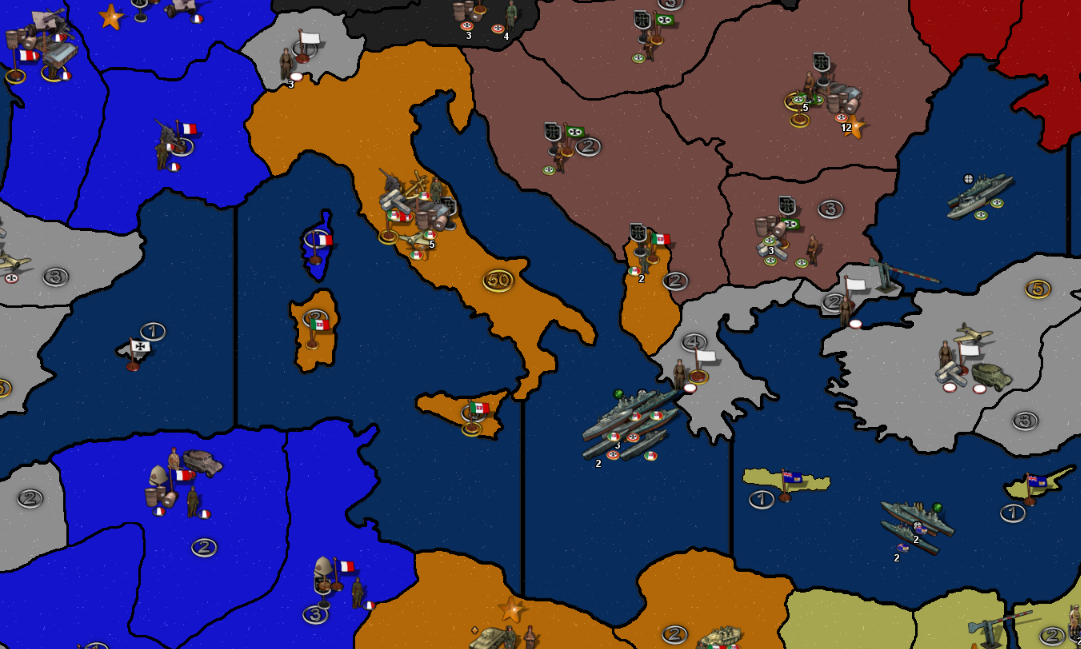
- Some of smaller island territories lost most of their outline during the polygons grabbing, while most didn't. Should i go back to map editing and increase the border width? The width was the same as every other territory.
- Some of the lakes lost their blue color and are white like they are neutral territories. Not sure why this happened. Seems like they became land territories.
- North Sea zone automatically gets recognized as a land territory. Orkney and Shetland islands not showing.
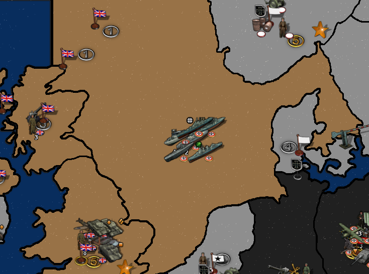
Overall, i had quite a few problems with polygon grabbing, usually with sea territories, like 80% of the time when i clicked on the sea TT it would actually select an island, and when i finally managed to select the sea zone, some islands would just dissapear like they don't have a border, which i found to be odd, since all borders are the same width.
-
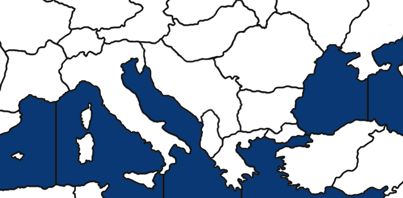
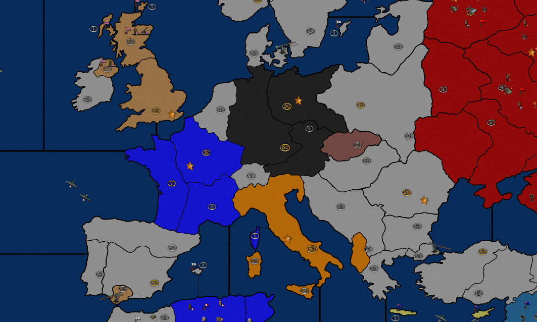
@davor-pavlić A thing I always say is that, for more than one-and-a-half year, mainland Italy was split between the Axis and the Allies, so mainland Italy being a single territory is something of which is very hard to make sense.
Mainland Italy was invaded starting from 3 september 1944 and split on the Gustav line from December 1943 to June 1944 and on the Gothic line from August 1944 to March 1945.
-
I can agree with that and that is one of the things i will look forward to changing along the way. I also plan to split my new Poland into two parts so that the west can get captured by the germans and the east by ussr.
Currently im just readjusting the zones, not adding any new ones, but i hope to learn to that too in the future.
-
I am pretty satisfied with what i have achieved in only a few days, considering few days i couldn't even imagine what it took to make and edit maps.
-I have fixed the bugs and redone the polygons and centers, this time everything is really good when it comes to baseTiles. Next step would be relieftiles.
-Another thing i don't know how to do is move the little territory income symbols. Any advise regarding that is highly appreciated.
But yeah, this is pretty much how i want europe to look like as of 1939. Maybe Poland is too big, im not sure.
Hello! It looks like you're interested in this conversation, but you don't have an account yet.
Getting fed up of having to scroll through the same posts each visit? When you register for an account, you'll always come back to exactly where you were before, and choose to be notified of new replies (either via email, or push notification). You'll also be able to save bookmarks and upvote posts to show your appreciation to other community members.
With your input, this post could be even better 💗
Register Login