
Recent Posts
-
Name Age of Tribes: Primeval
Description Civ-like tech tree on a map of Europe
https://axisandallies.fandom.com/wiki/Age_of_Tribes:_Primeval
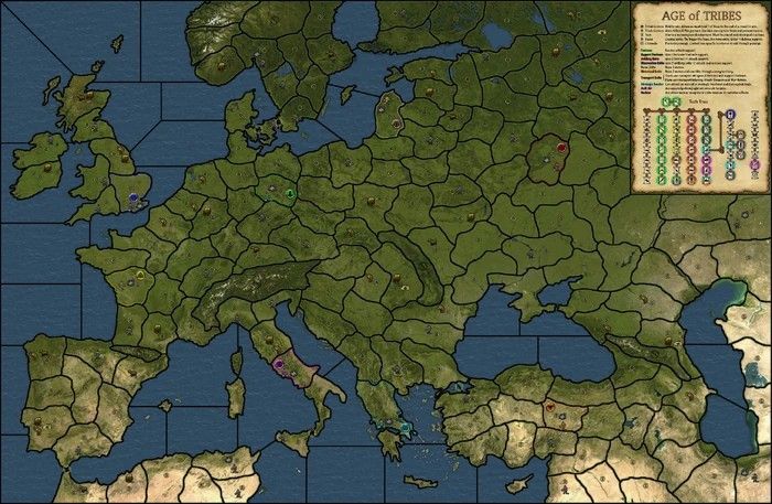
Good Points
The tech rules interestingBad Points
A simplistic East vs West alliance structureNote: This game would benefit from a random start.
-
Name Domination 1914 No Man's Land
Description World War One in 1914 on Domination map
https://axisandallies.fandom.com/wiki/Domination_1914_No_Man's_Land
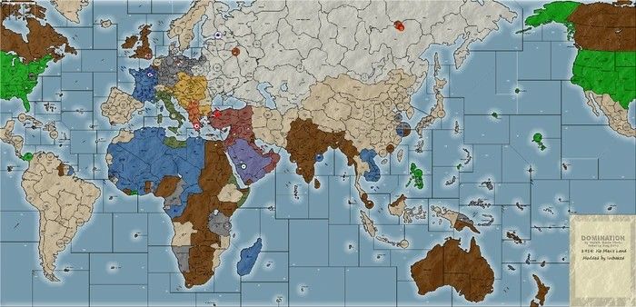
Good Points
Lots unit types and techsBad Points
Central Power are too strong
-
I put it onto github under https://github.com/triplea-maps/thehobbesians_1939. I will add to the in-game downloader tomorrow.
-
@rogercooper
Cant find Ansalon/Analon on Github mapsMissing from your list, but on Github maps
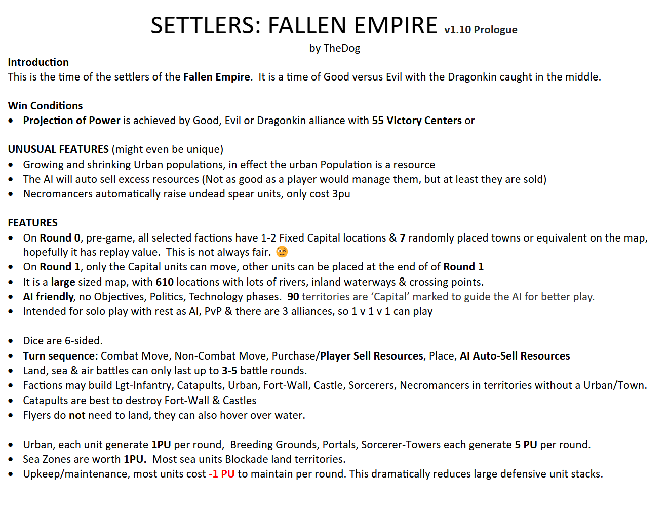
Settlers: Fallen Empire
Shogun AdvancedAnsalon was superseded. https://axisandallies.fandom.com/wiki/Master_of_Ansalon
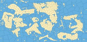
Settlers: Fallen Empire uses the Fallen Empire Map
Shogun Advanced is under The Shogun Map