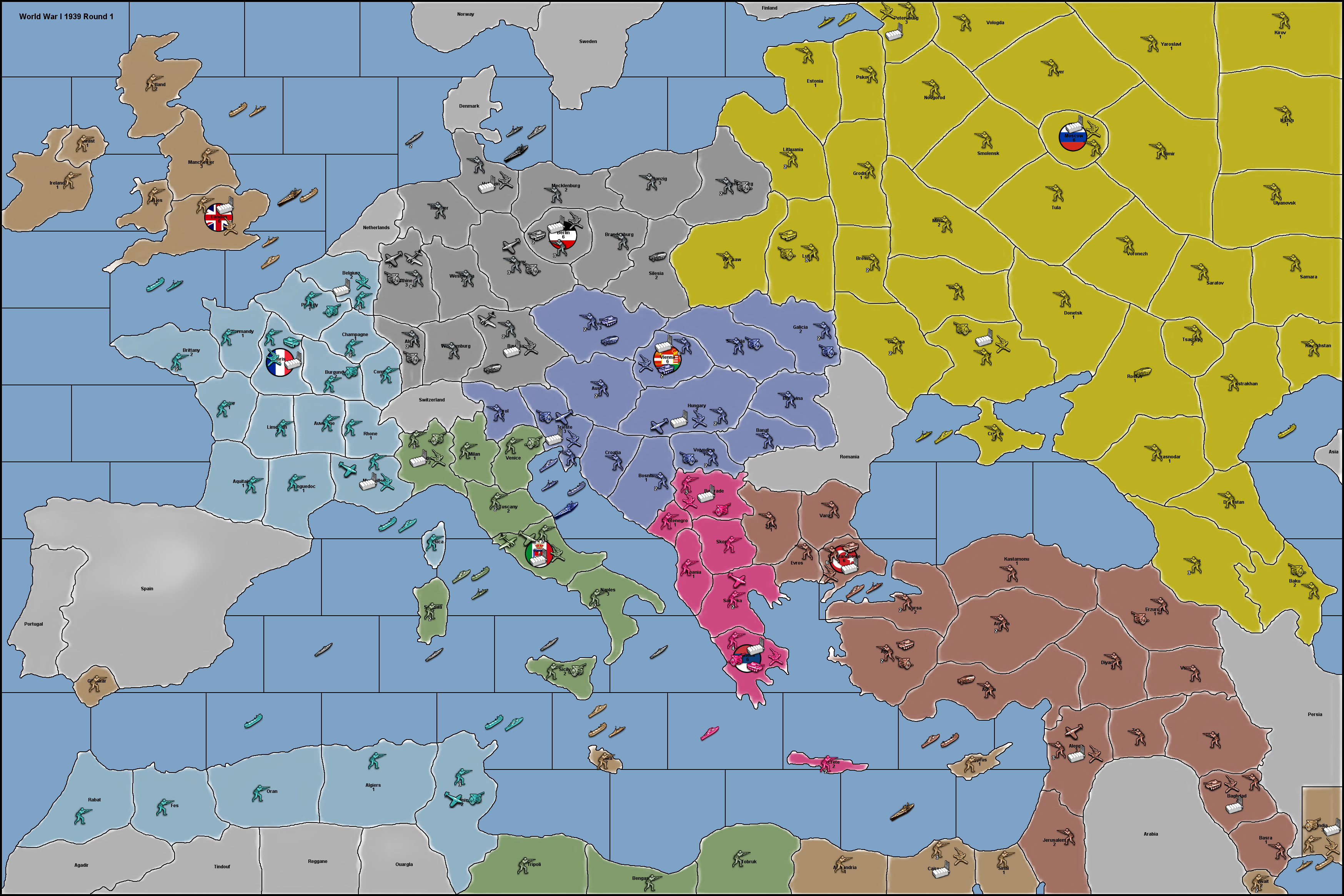
@mattbarnes Yes the Bowman is 1. There is only 1 AA combat round. Here is the documentation of AA Guns (from Pact of Steel 2)
aa related:
isAA values: just sets isAAmovement, isAAforCombatOnly, isAAforBombingThisUnitOnly, isAAforFlyOverOnly, isInfrastructure, and isRocket to true.
isAAmovement values: just sets canNotMoveDuringCombatMove to "true", and only for aa guns it will set the stacking limits (movementLimit, attackingLimit, placementLimit) to "1:allied" when playing by classic rules
attackAA values: the value that an isAA unit will attack at, for shooting at air units before battle
attackAAmaxDieSides values: sets the dice sides for aa guns. defaults to whatever you chose above in diceSides (or 6 if you didn't choose). All units with the same typeAA must have the same dice sides.
Be Warned that all aa attack values (including with Radar and without Radar), MUST divide into attackAAmaxDieSides without remainders, or else there WILL be errors in LowLuck!
offensiveAttackAA values: same as attackAA but for offensive side
offensiveAttackAAmaxDieSides values: same as attackAAmaxDieSides but for offensive side
maxAAattacks values: sets how many times this unit may fire its AA guns. Defaults to -1, which means infinite. If not infinite, then aa guns can stack.
(If you have multiple aa of the same type-group in a territory, and they have different attack values or dicesides, and different maxAAattacks, then what happens is that the engine will roll for the best attack/diceSides and for the best maxAAattacks, even if that is two different units
For example, if you have an aa gun that has infinite attacks and rolls a 4/20, and you have another gun with only one attack and rolls 3/6, then you will end up rolling infinite times at 3/6. This might be fixed in the future.)
mayOverStackAA values: sets if this unit may fire aa more times than there are aircraft (default = false).
maxRoundsAA values: sets how many rounds the AA may fire in. negative (-1) means infinite. (default = 1).
damageableAA values: sets if this unit can damage a two-hitpoint unit, instead of killing it instantly with aa fire (default = false = kill instantly).
isAAforCombatOnly values: allows this unit to be an AA gun for normal combat only. it will not defend against strategic bombing raids.
isAAforBombingThisUnitOnly values: allows this unit to be an AA gun only when this unit is directly attacked by a strategic bombing raid (currently defends against all strategic bombing attacks in this territory, not just against this unit). it will not defend against a normal attack.
isAAforFlyOverOnly values: allows this unit to be an AA gun only when being flown over. if the air unit moves into this territory and stays, then this will not fire.
isAAforFlyOverOnly will only work if "AA Territory Restricted" is turned off, and will normally only fire during combat move and not during noncombat move, unless you also turn on "Always on AA".
typeAA values: any string which identifies this type-group of aa guns. Only 1 aa gun per group may fire (unless you've set maxAAattacks). (defaults to "AA")
Warning: all units with the same typeAA must have the same dice sides, or else you will experience weird results.
targetsAA values: a list of unit types which this aa gun can hit. (defaults to all air units) (any aa guns in the same group should have the same targetsAA)
willNotFireIfPresent values: a list of unit types for which if they are present in the battle, this aa gun will not fire.
isRocket values: allows this unit to become a rocket if the player has the rocket technology. If the unit is named exactly "aaGun" then it will require an image called "rockets". If the unit is named anything else, then it will require an image with "_rockets" appended to its original name
canNotMoveDuringCombatMove values: true or false, defaults to false, does not allow this unit to move during 'combat move phase'
movementLimit values: only affects normal movement. the count is equal to the number of this unit allowed per territory, and the value is equal to "owned" (we are only counting units owned by each player), or "allied" (allied too), or "total" (which counts enemy units too)
attackingLimit values: only affects movement into enemy territory/units. the count is equal to the number of this unit allowed per territory, and the value is equal to "owned" (we are only counting units owned by each player), or "allied" (allied too), or "total" (which counts enemy units too)
placementLimit values: only affects placement. the count is equal to the number of this unit allowed per territory, and the value is equal to "owned" (we are only counting units owned by each player), or "allied" (allied too), or "total" (which counts enemy units too)
example: <option name="placementLimit" value="allied" count="1"/>